

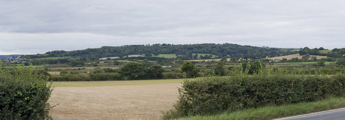
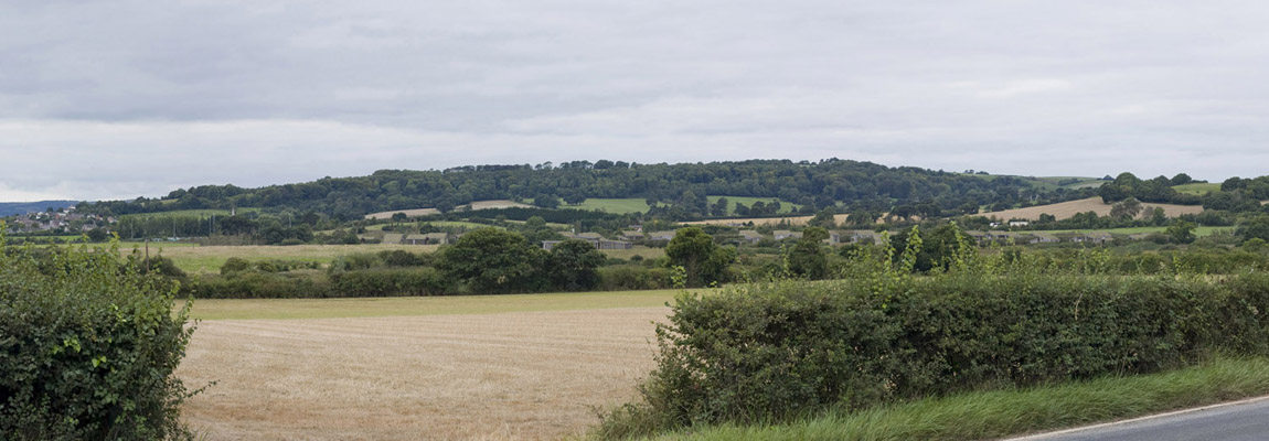
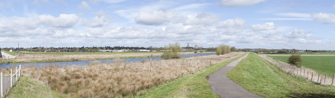
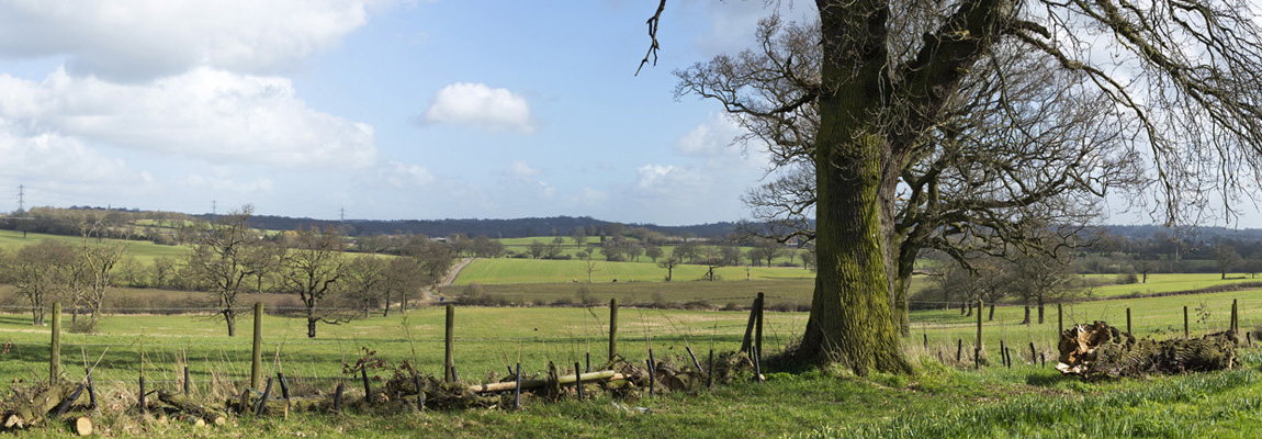
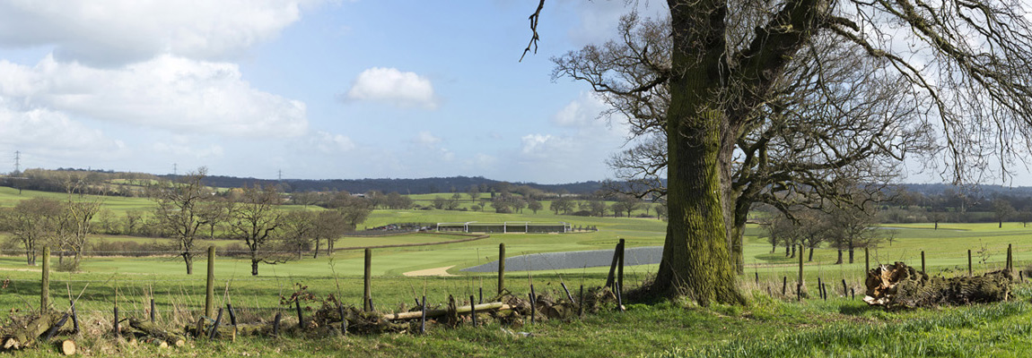
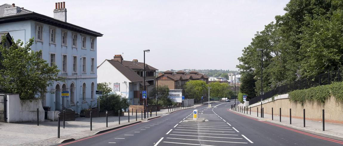
- Landscape and Visual Impact Assessments (LVIA) and Townscape and Visual Impact Assessment (TVIA), have become a statutory requirement for EIA’s and as such are one of the most important elements for consideration in development proposals. Large scale developments such as windfarms, major infrastructural projects and large commercial proposals require visual and landscape impact assessments to be undertaken. LVIA’s assess the current landscape situation, its sensitivity and its ability to accept change.
- All visualisation work is carried out in accordance with best practice with the Landscape Institute Technical Guidance Note 06/19 (17 September 2019) with additional technical knowledge.
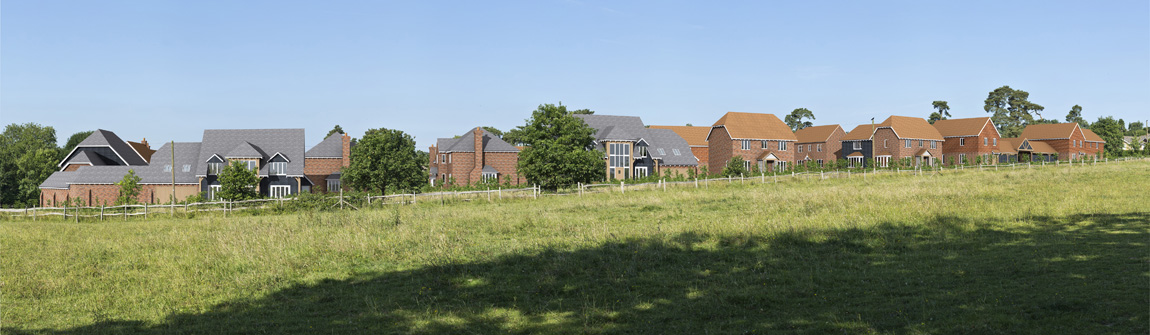
Tomo Graphics Ltd provide graphics to support Landscape and Visual Impact Assessment (LVIA) and Townscape and Visual Impact Assessment (TVIA).
Specialisms include:
- Verified Photography – If you like to be in control of your own visualisations, we can provide just the photographs with camera locations, along with surveyed reference points.
- Verifying service – If you are not confident verifying images yourselves, we can accurately locate your building/scheme in a photograph using survey data. Just send us the photos, along with survey reference points and a CAD drawing of the proposals, accurately located in British OS Grid co-ordinates. A wireframe image will be placed over the photograph in a layered photoshop file. We will also send you a virtual camera to import into your own rendering software. This will allow you to be in control of all rendering and masking/post production work. Tomo Graphics Ltd has full Professional Indemnity Insurance to cover this service.
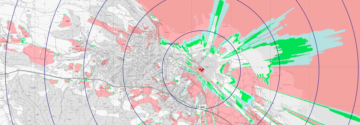
- ZTV (Zone of Theoretical Visibility) and Cumulative ZTV (CZTV) production figures.
- Windfarm Visualisation.
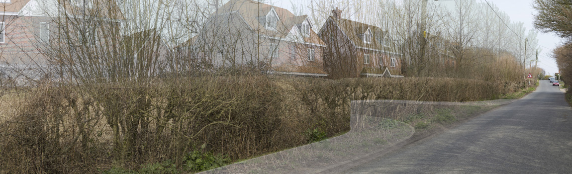
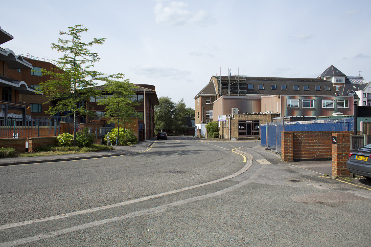
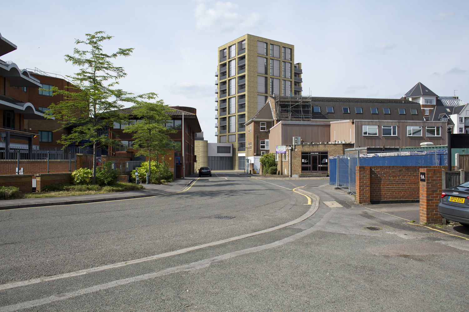
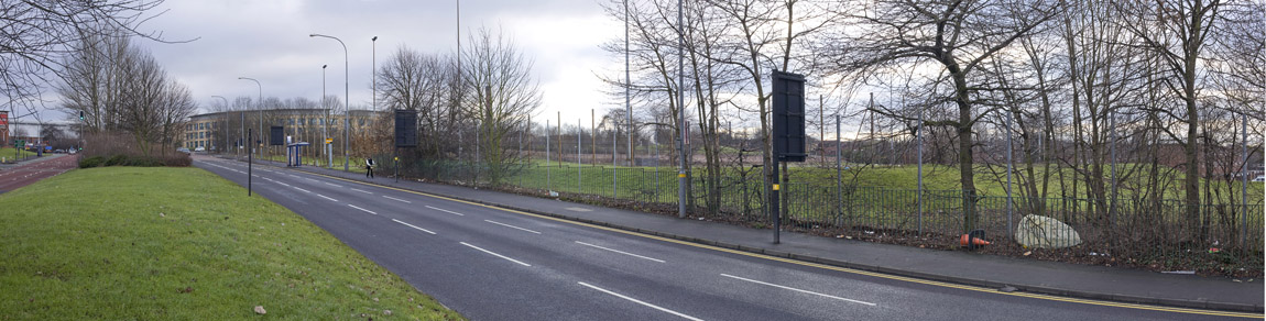
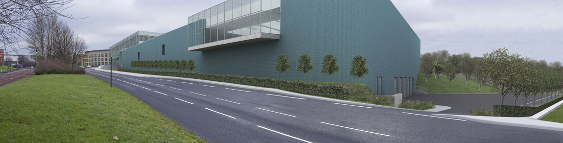
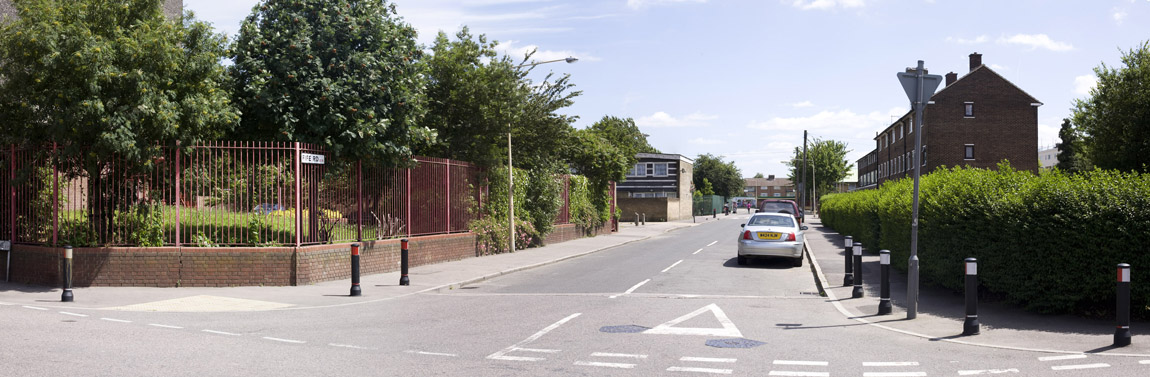
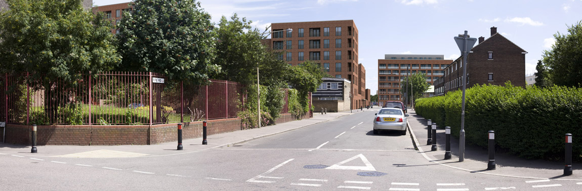
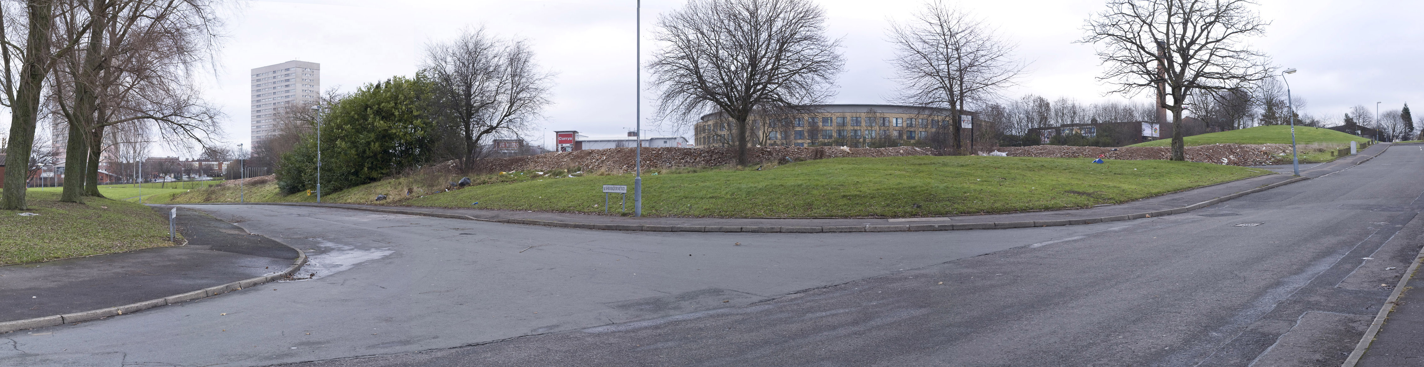
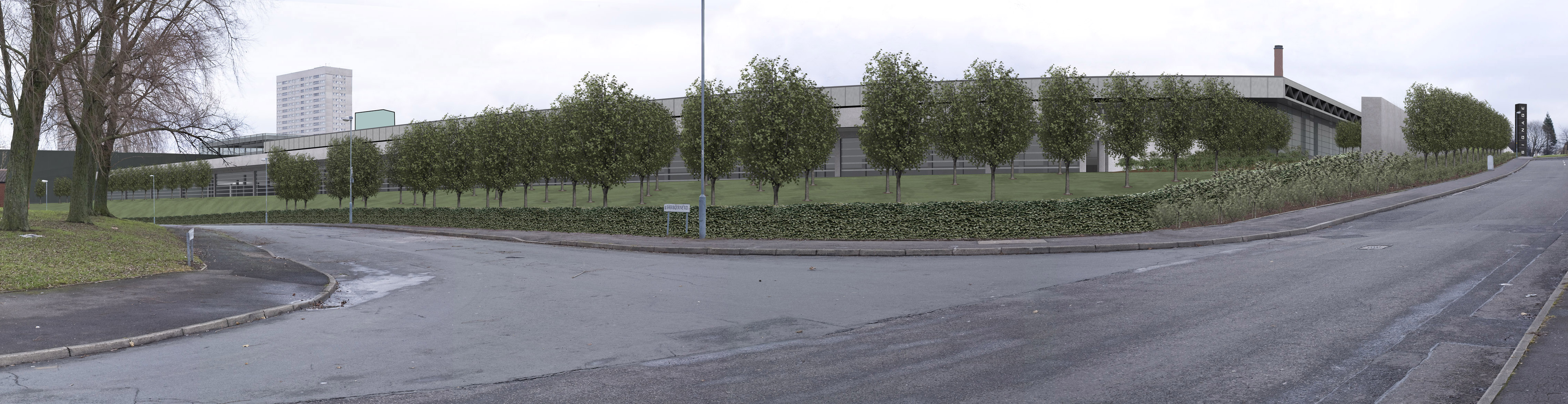
- Photomontages (non-verified). Photomontages are not as accurate, or expensive, as Verified Views which require a team of surveys to record the camera position and reference points in the view
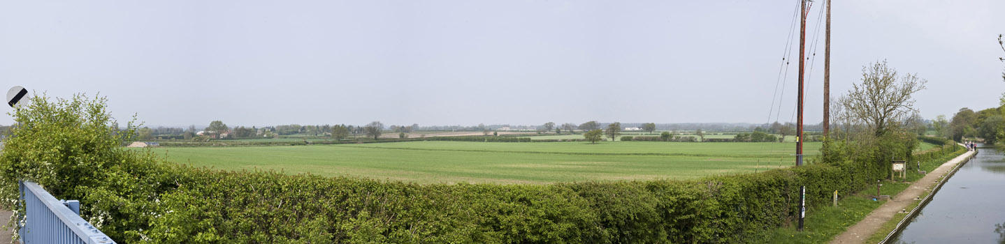
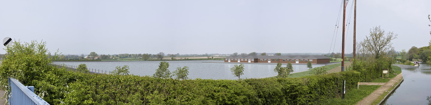
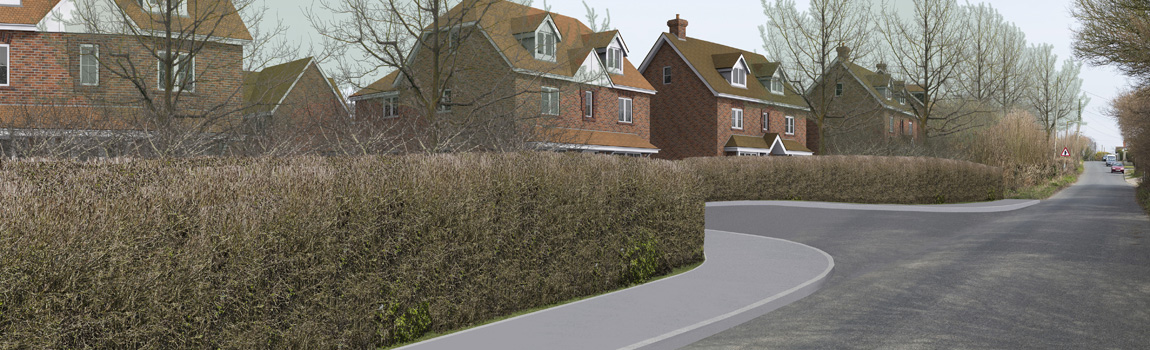
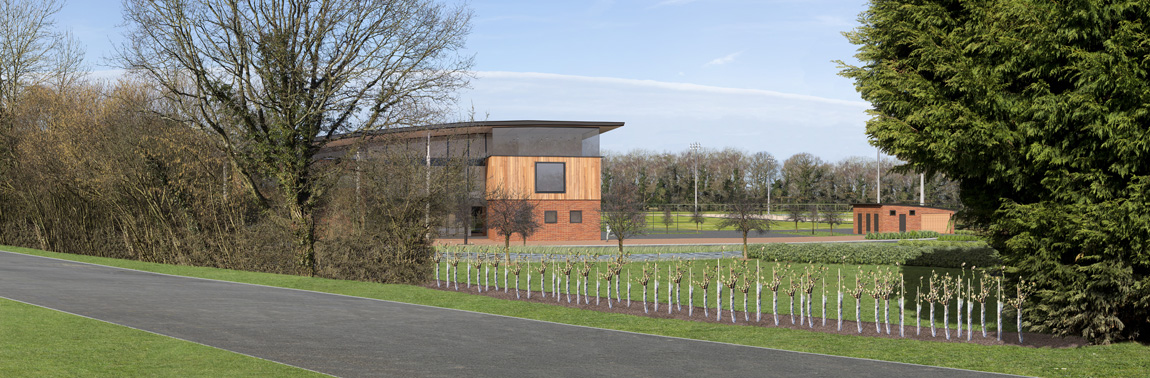
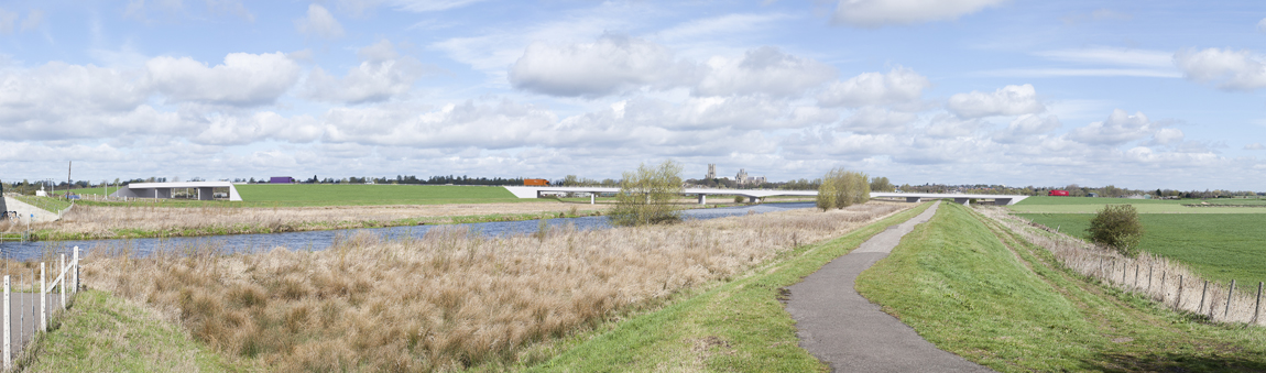
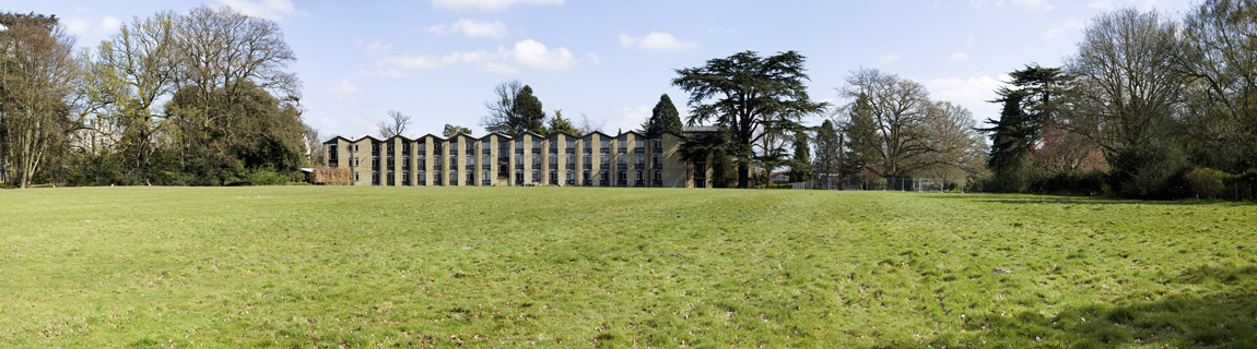
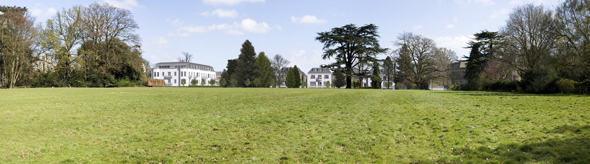
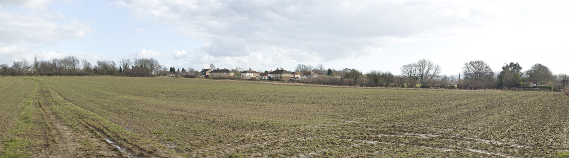
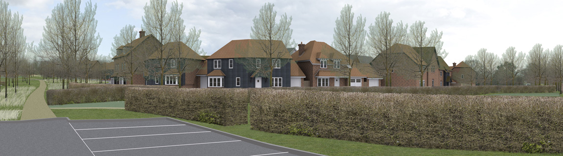
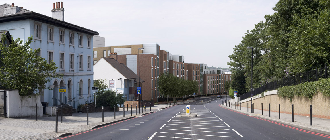
- Verified Views (LVIA) – Wireframe, grey block rendered or fully rendered.
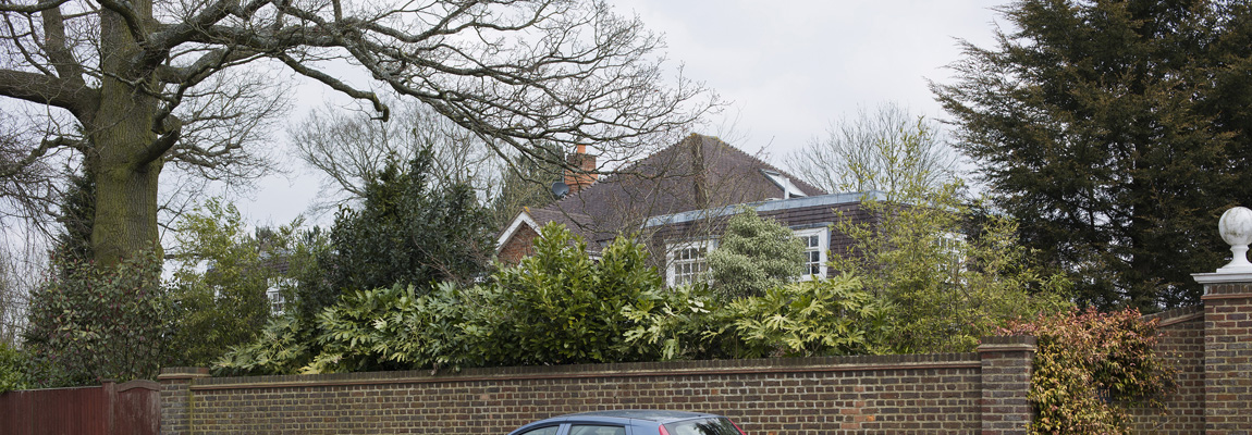
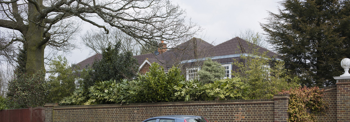
- Accurate Visual Representations (TVIA) London View Management Framework (LVMF) – AVR0 Location and Size only, usually as a toned area on photographs, AVR1 Showing degree of visibility via a wireframe block, AVR2 Architectural form, a simply shaded render in a uniform material, AVR3 A full render showing the use of materials and time of day.
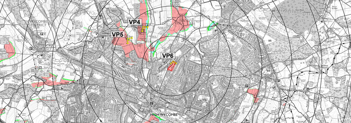
- Viewpoint location maps if required.
- Visual Assessment figures.
Our Verified Views and Accurate Visual Representations follow methodologies proven at Public Inquiry or Planning Appeal.